FUJI CLIMBING PREP GUIDE 2026
Before you climb Fuji,
pack these 7 apps.
The weather turns on you, the trail disappears, and the crowds drain your energy before you’re even close to the top. Here’s exactly what to install, in the order you’ll need it.
Chapter 01
Why you actually need these apps
Mount Fuji stands 3,776m tall. Past the fifth station, you’re in an entirely different world — one that surprises even seasoned climbers with how fast it changes. Conditions can flip in minutes, and visibility can vanish almost instantly.
Most accidents on Fuji follow one of three patterns. None of them are freak events — they happen routinely throughout the climbing season.
Sudden storms
Wind speeds of 15-22m/s. Calm skies can turn hostile within minutes near the summit.
Fog swallows the trail
Visibility can drop to under a meter. The whole world can turn white in a matter of minutes.
Queues → hypothermia
Standing still in a bottleneck drains body heat and energy faster than most people expect.
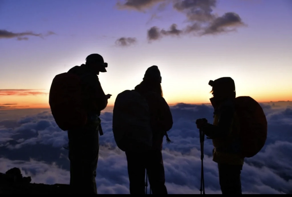
Fuji has no patience for the unprepared.
But for those who arrive with the right knowledge and judgment,
it opens the path with surprising generosity.
What actually helps is covering four bases before you set out: map (GPS), alpine weather, crowd conditions, and rescue readiness. Climb without these and, frankly, you’re missing most of what makes a well-prepared Fuji ascent so much safer than it used to be.
Chapter 02
The 7 apps that actually earn a spot on your home screen
Laid out in the order you’ll use them, from leaving the fifth station to standing at the summit. Every feature listed here has been checked against the app’s current functionality.
YAMAP
The most reliable offline GPS map for Fuji
- Shows your position with zero signal
- All four Fuji trails fully mapped
- Warns you automatically when you stray off-route
When to use it: Download the Mount Fuji map while you still have Wi-Fi — at home or at the fifth station. When fog wipes out the trail, that little blue dot showing your position is often the only thing you’ve got.
Mt. Fuji Climbing App
Fuji-specific info that reads like an official guide
- Altitude-specific crowd and weather data
- Mountain hut and restroom locations in one place
- Far more detailed than any general-purpose map app
When to use it: Best used while you’re building your itinerary — checking hut locations and facility info that a generic map simply won’t surface.
Windy
Fuji is a mountain the wind decides for you
- Wind patterns animated in real time
- Wind speed broken down by altitude
- Also shows lightning risk and cloud thickness
The real numbers: 15m/s wind means difficulty walking; 20m/s means you can’t stand. If you see a red band moving over the summit, that’s your cue to seriously consider calling it off for the day.
Mountain-Forecast
Reading the “3,000m world” by altitude band
- Forecasts broken out at 3000m / 3500m / 3776m
- Accurate feels-like temperature and wind speed
- Flags freezing and snowfall risk early
How to combine it: Clear skies at the fifth station can still mean a summit that feels like 0°C with 18m/s wind. Pairing Windy with Mountain-Forecast gives you a much clearer read on how conditions shift as you climb.
Compass (Compass EX)
The app that determines how fast rescue reaches you
- File and submit a hiking plan via web or app
- Linked with multiple prefectural police departments, including Yamanashi
- Descent check-in shares your status with family and companions
Why it matters: Yamanashi Prefecture requires a filed hiking plan above the sixth station on the Yoshida Trail (which the Subashiri Trail also joins). Roughly half of all rescued climbers had filed no plan at all — and that missing paperwork slows down every search.
Fuji Trail Congestion Forecast
“Queue” and “danger” are the same word on Fuji
- Summit queues can stretch up to 3 hours (Yamanashi Prefecture survey)
- Standing still in sweat-soaked layers raises hypothermia risk
- Timing your ascent around quieter windows pays off
The strategy: Crowd management is part of the climb itself on Fuji. Checking congestion data ahead of time and shifting your departure window even slightly can meaningfully cut how much energy you burn waiting in line.
Yamareco (Emergency SOS)
One tap that can decide the outcome
- Sends emergency SOS messages even with no signal
- Supports satellite services (such as au Starlink Direct) on compatible devices
- Relays your location and injury status to family and police
When to use it: Even with a Compass filing on record, things can go wrong somewhere with no signal at all. Having an off-grid SOS option as a last line of defense is worth confirming before you go.
Chapter 03
Where preparation actually pays off
These are the situations reported again and again on Fuji. None of them are extraordinary — they’re exactly where the gap between prepared and unprepared shows up.
“`Fog erases the trail → a GPS dot is the only marker left
A paper map can’t help here. But an offline map app’s live position marker can keep you moving until the gravel underfoot tells you you’re back on the route.
An 18m/s wind reading before departure → calling it off saves the day
“We came all this way, let’s just go” is a real pressure. Being able to say “not today” after seeing that red band at the summit is the harder — and often correct — call. Summit winds that same day have been recorded reaching 22m/s, with a spike in rescue calls to match.
Early signs of hypothermia → SOS shaves critical time off rescue
An SOS feature that works with no signal changes how fast a rescue team can pinpoint your location. Paired with a filed hiking plan, it meaningfully speeds up the entire response.
Chapter 04
Why apps alone aren’t enough
Everything above helps — but your phone is a backup, not a guarantee. Cold drains batteries faster the higher you climb, and signal gets patchier the closer you get to the summit.
Carry more than one power bank, ideally tucked somewhere warm so the cold doesn’t drain it before you need it. And keep a paper map and written itinerary as a backup that doesn’t depend on a charge. These apps are tools that support good judgment on the mountain — they’re not a replacement for it.
Before you fly out
Don’t lose money on currency exchange at the airport
Many mountain huts and gear shops near Fuji are cash-only, and airport exchange counters are rarely the best rate. A Wise multi-currency card lets you spend and withdraw yen at the real mid-market rate, so more of your budget goes toward the climb and less toward exchange fees.
Get a Wise account before your trip →FAQ
Frequently asked questions
“`Which app gives the most accurate weather forecast for Mount Fuji?
No single app nails it alone. Use Windy to see the overall wind pattern, then check Mountain-Forecast for precise altitude-specific numbers. A forecast for the fifth station tells you almost nothing about conditions at the summit.
Can I use offline maps for climbing Fuji?
Yes. YAMAP lets you download trail maps in advance, so your GPS position still shows even with zero signal. Download the Mount Fuji region before you leave Wi-Fi coverage — don’t wait until you’re on the mountain.
How do I avoid the summit crowds?
Check Yamanashi Prefecture’s congestion forecasts and trail status before you go, and time your ascent to avoid the sunrise-hour bottleneck near the summit, which is when queues are longest.
What should I do if I need emergency help on the mountain?
File a hiking plan through Compass (Compass EX) before you go — it connects to local police for faster response. In an emergency call 110 (Japan’s police line) if you can. Where there’s no signal, Yamareco’s emergency SOS feature can help, since some versions support satellite messaging.
What’s the bare minimum app setup for a first-time Fuji climb?
At minimum: an offline map (YAMAP) and a filed hiking plan (Compass EX). If you have room for a third, add a wind forecast app (Windy) so you can make an informed go/no-go call on the day.

Chapter 06
Seven apps, one home screen, one summit
① YAMAP (map) ② Mt. Fuji Climbing App (info) ③ Windy (wind) ④ Mountain-Forecast (altitude weather) ⑤ Compass (hiking plan) ⑥ congestion forecast (crowd avoidance) ⑦ Yamareco (emergency SOS). Load these seven in the order you’ll use them, and the difficulty curve of climbing Fuji changes substantially.
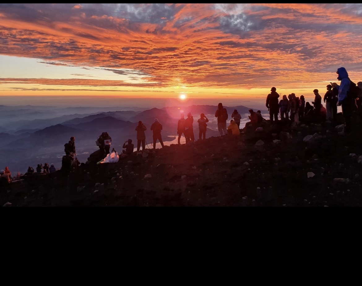
Fuji is unforgiving. But approached the right way, it’s genuinely one of the most rewarding climbs there is. Prepare well, and go catch that sunrise.
Don’t forget accommodation
Rooms near the fifth station — and pre- or post-climb stays — fill up fast during peak season. Book early.

This post uses an affiliate program.
Leave a Reply